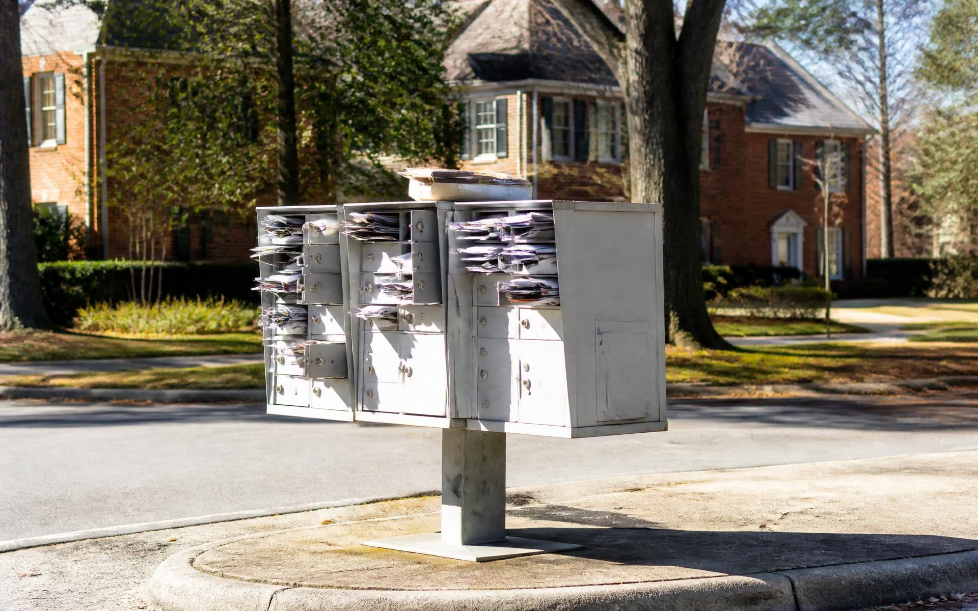
A lot of home searches start with a ZIP code, and in Charlotte, 28211 is closely associated with Cotswold. That association is directionally correct but imprecise — ZIP codes are a postal delivery convenience, not a neighborhood boundary or a school assignment map, and Cotswold's edges don't line up neatly with any single ZIP.
Why 28211 and Cotswold get used interchangeably
Ask a Charlotte real estate agent or a longtime resident where Cotswold is, and "28211" comes up almost immediately. That's not wrong, exactly — the 28211 ZIP code does cover the great majority of the Cotswold neighborhood, including the area around the Cotswold Village Shops and most of the residential streets branching off Randolph Road and Sharon Amity Road. But a ZIP code is a postal delivery construct managed by the United States Postal Service, not a neighborhood boundary, a zoning designation, or a school attendance zone. It's a convenient shorthand, and like most shorthand, it loses precision at the edges.
What 28211 actually covers
28211 extends beyond Cotswold's typical boundaries in multiple directions, sweeping in adjacent areas that most residents wouldn't describe as "Cotswold" even though they share the ZIP. Meanwhile, depending on exactly how you draw Cotswold's edges, some fringe blocks near Monroe Road or along the Wendover corridor may sit closer to neighboring ZIP codes such as 28226, 28212, or 28205. None of this is exact — ZIP boundaries are drawn for mail routing efficiency and get adjusted periodically, so treat any specific edge claim as approximate and verify a given address directly if it matters for a purchase decision.
What a ZIP code does not tell you
- School assignment. Charlotte-Mecklenburg Schools assigns students based on the home address's specific attendance zone, not ZIP code. Two houses a few blocks apart within 28211 can be zoned for different elementary or middle schools — always check the CMS locator for an exact address rather than assuming based on ZIP. See Cotswold schools for how CMS assignment generally works in the area.
- Zoning and land use. A ZIP code carries no zoning information. Setbacks, allowed density, and lot coverage are governed by the Charlotte UDO and vary parcel by parcel — see new construction.
- Property values or neighborhood character. 28211 spans a wide range of housing types and price points well beyond Cotswold's core. Filtering a home search purely by ZIP will pull in listings that have little in common with a Cotswold ranch or Sherwood Forest home.
- HOA or neighborhood association boundaries. Cotswold's various residential pockets have their own informal or formal neighborhood identities that don't map onto ZIP lines at all.
What actually defines Cotswold's boundary
Rather than a ZIP code, Cotswold is more usefully understood by its four defining roads: Randolph Road to the north, Sharon Amity Road to the west, Wendover Road to the south, and Monroe Road to the east — roughly the frame most residents and agents use when they say "Cotswold." Within that rough perimeter sit a mix of residential streets and pockets, several with their own identities, plus the commercial anchor of the Cotswold Village Shops. See Cotswold neighborhoods and the area map for a fuller picture of how these pockets fit together, and Cotswold vs. nearby neighborhoods for how this area compares to SouthPark, Myers Park, and other nearby ZIPs.
Why buyers should search by neighborhood, not ZIP
ZIP code remains a useful, easy first filter in most online listing portals, and there's nothing wrong with starting there. But because 28211 extends well past Cotswold's practical boundary, a buyer specifically interested in the neighborhood is usually better served narrowing by street name, school node, or working with a local agent who knows the area's informal pocket boundaries. This matters most for anyone weighing schools, walkability to the Village, or proximity to Briar Creek Greenway, none of which line up with ZIP lines. For census-level demographic data tied to ZIP or tract boundaries, the U.S. Census Bureau is the authoritative source, though even that data reflects the ZIP's full footprint rather than Cotswold specifically.