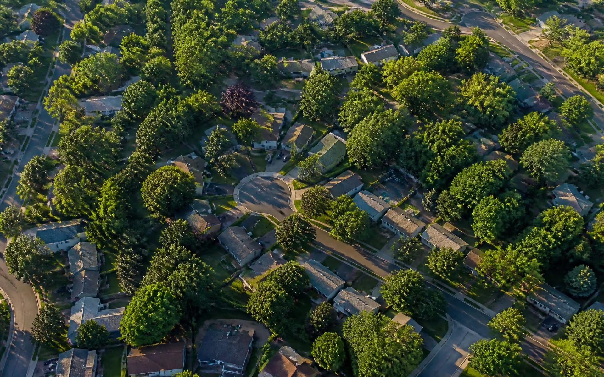
People say "Cotswold" the way they say "Myers Park" — as though it were a single platted community with edges everyone agrees on. It is not. The name attached to a shopping center in the mid-century era and then spread outward across a group of separately developed subdivisions. Knowing which pocket you are standing in explains most of what varies here: lot size, sidewalk coverage, walk time to the Village, and price.
Reading the neighborhood in four bands
The most useful mental model divides Cotswold by distance from the Village rather than by recorded subdivision name.
- The Village ring. Streets immediately off Randolph and Sharon Amity. Highest convenience, most walkable, most traffic noise, strongest infill activity.
- The interior. The quiet middle. Deeper lots, mature canopy, minimal through traffic, and the most intact runs of original ranch architecture.
- The Monroe Road edge. Closest to the corridor's food and breweries and to Evergreen Nature Preserve. Generally more accessible pricing, more mixed streetscape.
- The Wendover and Sharon side. Transitional toward Foxcroft and the SouthPark approach, with larger lots in places and a different comparison set entirely.
Named enclaves and communities you will see on listings
Because the area is an assemblage of plats, listing agents attach a mix of subdivision names, street names, and simply "Cotswold" to the same few square miles. A handful of names come up often enough to be worth recognising.
- Cotswold proper. The mid-century detached-home plats radiating from the Village. Overwhelmingly brick ranches and split-levels on flat, wide lots, with a steady layer of renovations and rebuilds mixed in.
- Ferncliff at Cotswold. An attached-home community associated with the Ferncliff Road side of the area — the low-maintenance format Cotswold otherwise has very little of, which is why it draws attention out of proportion to its size. Ownership structure, dues, and rental rules differ from the detached streets around it, so read the documents for the specific unit rather than assuming neighborhood norms.
- The Village-adjacent infill. Small newer pockets and individual teardown rebuilds closest to Randolph and Sharon Amity, where walkability commands a premium.
- The bordering neighborhoods. Cotswold shades into Foxcroft and the SouthPark approach to the south, Myers Park to the west, Oakhurst and the Monroe Road corridor to the northeast, and Sherwood Forest and Providence Park nearby — which is why searches often surface homes marketed as Cotswold that sit just outside it. Confirm the parcel on the county's viewer.
What varies block to block
Four things move more between adjacent Cotswold streets than most buyers expect: sidewalk presence, canopy density, lot depth, and how far renovation has progressed. A street where six of twelve houses have been rebuilt reads and prices very differently from one where two have.
There is no substitute for driving them. Pick a Saturday morning, start at the Village, and work outward in each direction for twenty minutes. You will learn more than any amount of listing data provides.
Covenants and associations
Because Cotswold is an assemblage of older plats rather than a master-planned community, most of it carries no active homeowners association and no mandatory dues. Some individual subdivisions recorded covenants at the time of platting, and a few later infill pockets have their own. Never assume either way — pull the recorded documents for the specific parcel through the Register of Deeds before you plan an addition, a fence, or a detached structure.