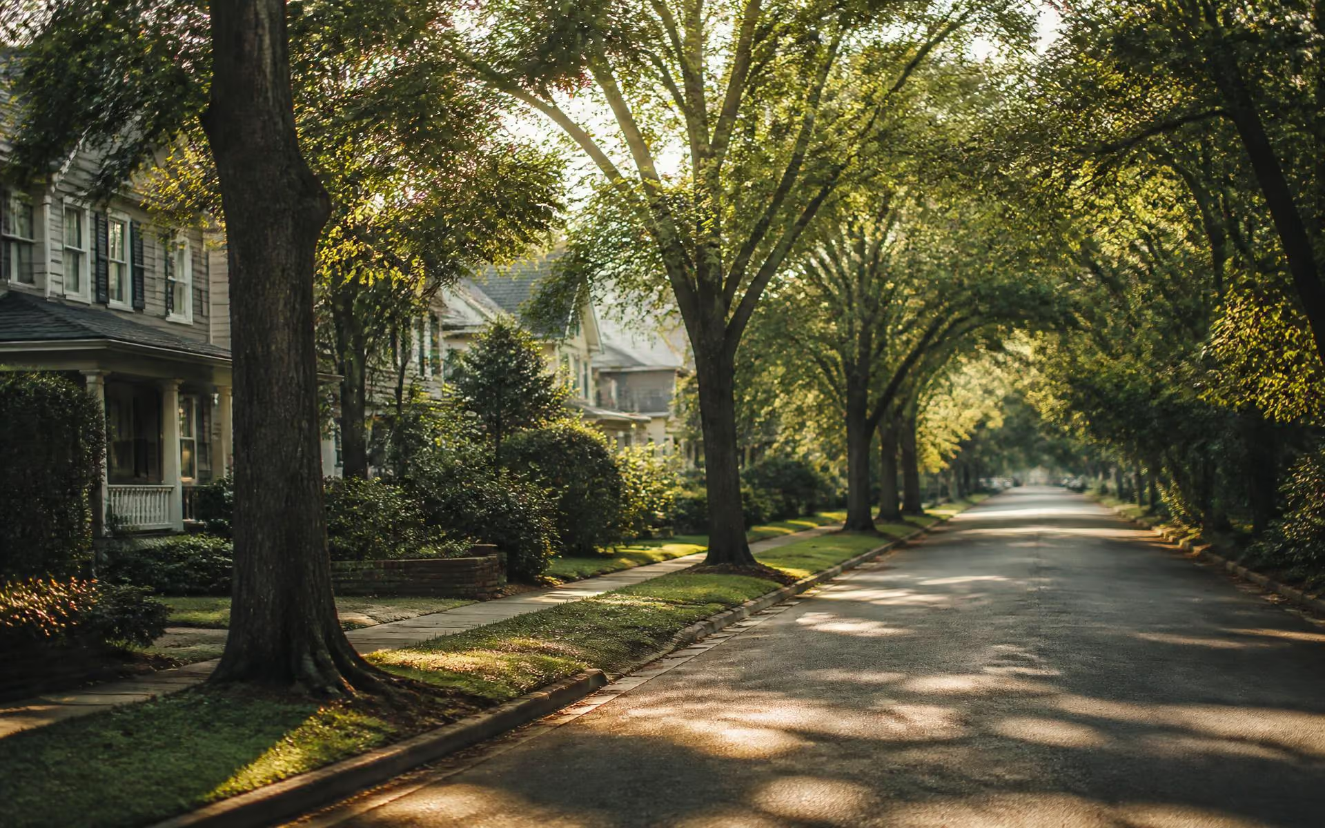
Cotswold does not fit neatly into a single walkability score. Interior streets close to Cotswold Village Shops support a real walking life; blocks further out, or across a busy arterial, function much more like a typical drive-everywhere suburb. Understanding that block-by-block variation matters more here than in most Charlotte neighborhoods.
What's reachable on foot, and from where
Residents on the streets immediately surrounding Cotswold Village Shops — including much of the historic core — can realistically walk to a coffee shop, a restaurant, a pharmacy, and a grocery run. Move a half-mile out toward the edges of Sherwood Forest or Oakhurst, and that same trip becomes a drive for most people, not because the distance is unreasonable but because sidewalks thin out and the route may require crossing a busy road. Walkability in Cotswold is genuinely a street-by-street question, more so than a neighborhood-wide one — see neighborhoods for how the different pockets compare.
Sidewalk coverage and its gaps
Sidewalk coverage is strongest on and near the streets that predate the neighborhood's later infill, and around the Village core itself. Older curvilinear residential streets, common in Cotswold's original mid-century layout, sometimes lack continuous sidewalks, meaning walkers share the street with cars on quieter blocks. That's a manageable trade-off on low-traffic interior streets, but it's worth a look in person — city sidewalk inventories change slowly and gaps that existed years ago often persist.
Crossing Randolph and Sharon Amity safely
The neighborhood's two main arterials, Randolph Road and Sharon Amity Road, are also its biggest walkability obstacles. Both carry meaningful traffic volume and higher speeds than interior streets, and while signalized crossings exist near the Village and other major intersections, they can require real waits and are not always comfortable for young children or those with mobility limitations. Wendover Road and Monroe Road present similar challenges further from the core. Anyone planning to walk regularly across one of these roads should scout the specific crossing before assuming it's simple.
Briar Creek Greenway and off-street connections
Briar Creek Greenway is the neighborhood's best off-street walking and biking asset, offering a paved, car-free path that links to Charlotte's broader greenway network and to parks and greenways like Evergreen Nature Preserve. For households near a greenway access point, it effectively extends the walkable radius well beyond what the street grid alone would allow, and it's a genuinely pleasant amenity rather than just a fallback route.
Biking to Uptown and SouthPark
Cyclists comfortable riding on quieter neighborhood streets can piece together a route toward Uptown or SouthPark using a combination of greenway segments and interior roads, generally avoiding the busiest stretches of Randolph, Independence, and Sharon Amity. It is not a fully protected bike-lane network end to end, so more cautious or less experienced riders may prefer to treat it as a recreational ride rather than a daily commute option. See commute times for how that compares with driving or transit.
How walkability varies block to block
The practical takeaway: two homes a few blocks apart in Cotswold can have very different daily-life patterns, one where errands are a stroll and another where they require a car every time. Buyers who prioritize walkability should look closely at sidewalk continuity, the number of arterial crossings required to reach the Village or a greenway entrance, and whether CATS bus service on Randolph or Monroe (see commute) is a realistic backup. It's a detail easy to miss on a listing sheet and worth a walk-through in person before deciding between streets — see best of Cotswold for specific standout spots reachable this way.