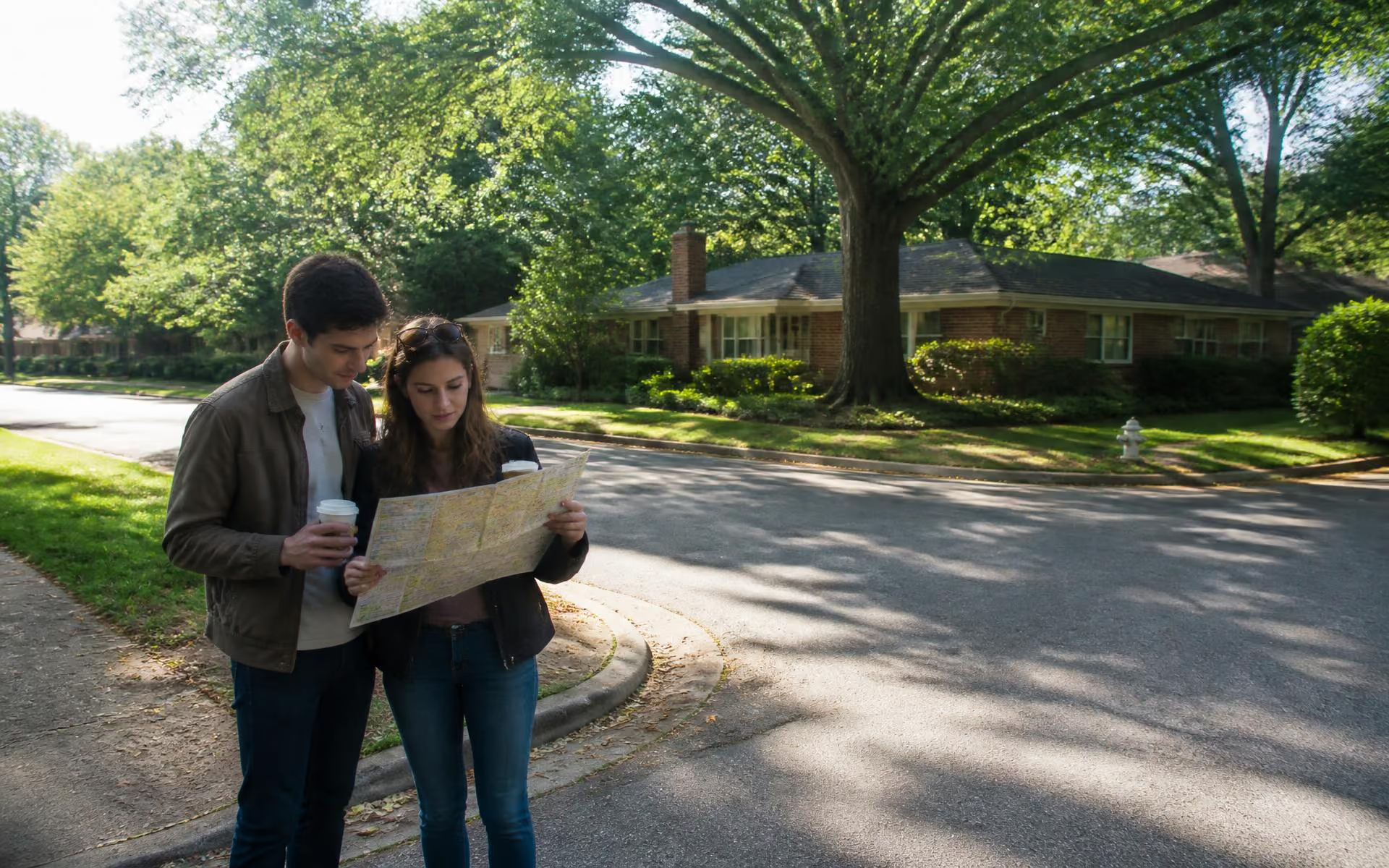
A brick ranch home behind mature trees on a quiet Cotswold street

Start Here

Cotswold in five minutes

The short version of everything else on this site — enough to know whether the neighborhood belongs on your list.

Cotswold sits roughly four miles southeast of uptown Charlotte, between Myers Park and the Monroe Road corridor. It is one of the last in-town areas where flat, wide lots, mature canopy, and a walkable grocery-and-hardware shopping district come in the same package. This page is the compressed version: the handful of facts most people need before deciding whether to look further.

Where it is, precisely

The name comes from the Cotswold Village shopping center, which opened in the mid-century era at the junction of Randolph Road and Sharon Amity Road. The label spread outward from there across a dozen separately platted subdivisions. Today most people mean the area bounded loosely by Randolph Road, Wendover Road, Sharon Amity Road, and Monroe Road — with Sharon Amity running through the middle as the de facto main street.

What the housing stock is

The original build-out was brick ranch and split-level, plus a band of two-story brick colonials on the larger lots nearer Randolph. Since the mid-2010s a steady share of those original houses have been renovated to the studs or replaced with modern-traditional custom homes. On many blocks you will see all three generations of house within a hundred yards, which is why price per square foot varies so widely street to street.

What it costs

Cotswold trades at a discount to Myers Park and Eastover while sharing much of their location advantage — that gap is the core of the area's value argument. Within the neighborhood, the spread between an unrenovated ranch and a new custom build is large enough that neighborhood averages are close to meaningless. Read the price bands on the real estate page rather than a single median.

How the day works

The practical appeal is errand density. A grocery run, a hardware store, a dry cleaner, a pharmacy, coffee, and a dozen restaurants all sit inside the same short drive or, from the closer streets, a genuine walk. Commutes to uptown, SouthPark, and the medical campuses are each in the ten-to-twenty-minute range outside peak, which is unusual for a single address.

What to check before you commit

Three things vary enough to matter: sidewalk coverage (inconsistent block to block), school assignment (address-specific and subject to change), and flood or drainage history on the lower-lying lots near the creeks. All three are verifiable in an afternoon using the sources listed at the bottom of this page.
Common Questions

The questions people ask first

Where exactly is Cotswold in Charlotte?

Cotswold sits about four miles southeast of Uptown Charlotte, inside the 28211 ZIP code. Most definitions frame it with Randolph Road to the northwest, Sharon Amity Road running through its middle, Wendover Road to the southwest, and Monroe Road to the northeast. The Cotswold Village shopping center at Randolph and Sharon Amity is the practical center of gravity.

Source: NC Department of Transportation project information

What makes Cotswold different from Myers Park or Elizabeth?

Cotswold trades some of Myers Park's grand-boulevard prestige for convenience and value. The housing stock is mid-century ranch and split-level, much of it renovated or replaced, on flat and unusually usable lots. You get a walkable full-service grocery and big-box retail at the center of the neighborhood — something neither Myers Park nor Elizabeth offers at the same scale.

Source: Mecklenburg County Park & Recreation

Is Cotswold walkable?

Partially, and more than most Charlotte neighborhoods of its era. Streets closest to the Village can walk to grocery, pharmacy, restaurants, and services. Farther pockets are car-dependent for errands but connect to the Briar Creek Greenway for recreation. Sidewalk coverage is inconsistent street to street, so check the specific block.

Source: Mecklenburg County restaurant inspection scores

What kind of homes are in Cotswold?

The core is 1950s and 1960s brick ranches and split-levels, typically 1,400 to 2,400 square feet as originally built. Over the past two decades a large share have been renovated, expanded, or torn down for custom homes of 3,000 to 5,000-plus square feet. The result is a genuinely mixed streetscape rather than a uniform one.

Source: Charlotte-Mecklenburg Historic Landmarks Commission

Is Cotswold a good location for commuting?

It is one of the strongest in-town locations for driving access. Uptown is roughly fifteen minutes outside peak hours, SouthPark about ten, and Charlotte Douglas International Airport around twenty. Independence Boulevard and Providence Road are both close, though Independence congestion at rush hour is real.

Source: Mecklenburg County Park & Recreation

Does Cotswold have a homeowners association?

Cotswold is a collection of older platted subdivisions rather than a single master-planned community, and most of it has no active HOA or mandatory dues. Some individual streets or later infill pockets may carry recorded covenants. Always confirm covenant status for a specific parcel through the Register of Deeds before assuming there are no restrictions.

Source: Mecklenburg County POLARIS 3G parcel viewer

Sources & Verification

How this page was researched

Figures on this page are compiled from public records and primary sources listed below. Conditions change; verify anything you plan to rely on directly with the responsible authority.

Last editorial review: