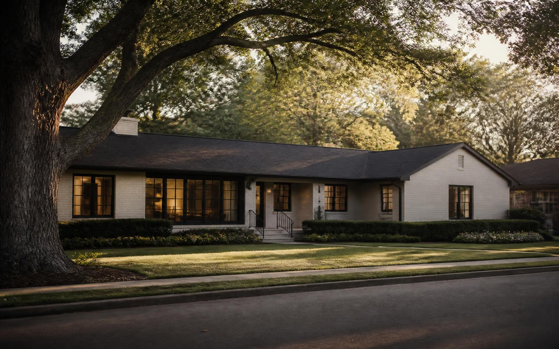
A renovated white-brick ranch home beneath mature oaks on a quiet Cotswold street in Charlotte
Cotswold monogramCotswoldCharlotte · North Carolina

Charlotte, North Carolina · 28211

Cotswold: Charlotte's most convenient established neighborhood

Mid-century brick on flat, generous lots. A full-service village at the center. Fifteen minutes to Uptown, ten to SouthPark, twenty to the airport. This is the independent, source-cited guide to living, buying, building, and eating in Cotswold.

4 mi

to Uptown Charlotte

≈15 minutes off-peak

28211

Cotswold's ZIP code

Village at Randolph & Sharon Amity

1950s–60s

Original housing era

Brick ranch & split-level

≈20 min

to CLT Airport

Normal traffic conditions

Orientation

Where Cotswold is, and why it works

Cotswold sits roughly four miles southeast of Uptown Charlotte, framed by Randolph Road to the northwest, Wendover Road to the southwest, Monroe Road to the northeast, and threaded down the middle by Sharon Amity Road. The intersection of Randolph and Sharon Amity — where the Cotswold Village shopping center sits — is the neighborhood's practical center of gravity, and the single fact that explains most of its appeal.

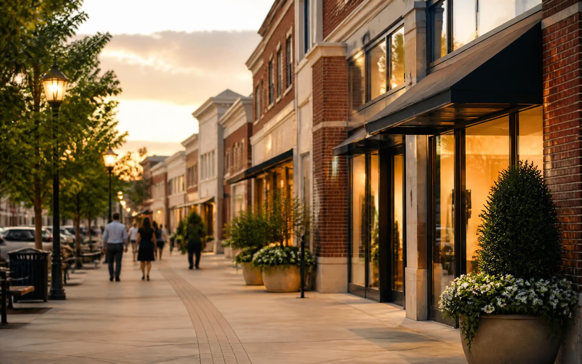
Charlotte has plenty of pretty neighborhoods from this era. What Cotswold has that almost none of them do is a full-service commercial core inside its own boundaries: a grocery, a general-merchandise anchor, a pharmacy, banks, dry cleaners, a dozen restaurants, and coffee — all within a mile of most front doors. In a city built around driving, that proximity is the amenity.

The housing tells the second half of the story. The original stock is 1950s and 1960s brick ranch and split-level, typically built between 1,400 and 2,400 square feet, on lots that are flat, wide, and unusually usable by in-town standards. Over the past two decades a large share has been renovated, expanded, or replaced with custom homes three to five thousand square feet and up. The result is a street-by-street mix rather than a uniform streetscape — which is precisely what makes buying here a research exercise rather than a comp lookup.

This site exists to do that research in public. Every page cites the primary source behind its claims, links to the authority you should verify with, and tells you where the data ends and judgment begins. Start with the guide, or jump to the full site index.
Interactive Map

Cotswold, mapped

A schematic orientation to the neighborhood — the Village at the center, four arterials framing it, and the schools, parks, and food that define daily life. Filter by category, then tap any marker.

Layers
Briar CreekRandolph RdSharon Amity RdWendover RdMonroe RdCotswold Village ShopsHarris Teeter — CotswoldTarget — CotswoldTrader Joe's — Metropolitan sideVillage coffee rowRandolph Road restaurantsMonroe Road corridorBillingsville Cotswold ElementaryAlexander Graham MiddleMyers Park HighBriar Creek GreenwayGrayson ParkEvergreen Nature PreserveCharlotte Mecklenburg LibraryMedical offices — RandolphUptown Charlotte — ~15 minSouthPark — ~10 minCLT Airport — ~20 min

Schematic — not to scale

Shopping

Cotswold Village Shops

The neighborhood's commercial heart at Randolph and Sharon Amity — grocery, big-box anchors, services, and a dozen restaurants.

Schools, without the folklore

Cotswold is inside Charlotte-Mecklenburg Schools, and the assignments people quote at dinner parties are not always the assignments on file. Boundaries move. Programs relocate. We tell you which schools are generally associated with the area, then send you to the district's own locator to confirm your exact address — because that is the only answer that counts at closing.

Cotswold schools guide

Elementary

Billingsville Cotswold

Verify by address

Middle

Alexander Graham

Common area assignment

High

Myers Park

Large, long-established CMS high

Topic Clusters

The Cotswold Guide

Orientation

Start here: where Cotswold is, how it is laid out, and how it came to be.

Real Estate

Housing stock, pricing patterns, streets, and how buyers and sellers approach the market.

The Village & Dining

Cotswold Village Shops, the surrounding retail, restaurants, and coffee.

Daily Life

Schools, parks and greenways, commuting, recreation, and weekends.

Building & Design

Renovating, custom building, interiors, and home technology on established lots.

Trusted Local Resources

The people we send Cotswold readers to

Buying, renovating, furnishing, and wiring a mid-century home in an established neighborhood is a specialist exercise. These are the firms we recommend for that work. All are commercially affiliated with this publisher, which we disclose on every page.

Also recommended

Your Leader in Luxury Luxury and relocation representation for Charlotte's established neighborhoods, including quietly marketed inventory.

Common Questions

Cotswold, answered

The questions we get asked most often by people considering the neighborhood — each answered with a primary source you can check yourself.

Where exactly is Cotswold in Charlotte?

Cotswold sits about four miles southeast of Uptown Charlotte, inside the 28211 ZIP code. Most definitions frame it with Randolph Road to the northwest, Sharon Amity Road running through its middle, Wendover Road to the southwest, and Monroe Road to the northeast. The Cotswold Village shopping center at Randolph and Sharon Amity is the practical center of gravity.

Source: NC Department of Transportation project information

What makes Cotswold different from Myers Park or Elizabeth?

Cotswold trades some of Myers Park's grand-boulevard prestige for convenience and value. The housing stock is mid-century ranch and split-level, much of it renovated or replaced, on flat and unusually usable lots. You get a walkable full-service grocery and big-box retail at the center of the neighborhood — something neither Myers Park nor Elizabeth offers at the same scale.

Source: Mecklenburg County Park & Recreation

Is Cotswold walkable?

Partially, and more than most Charlotte neighborhoods of its era. Streets closest to the Village can walk to grocery, pharmacy, restaurants, and services. Farther pockets are car-dependent for errands but connect to the Briar Creek Greenway for recreation. Sidewalk coverage is inconsistent street to street, so check the specific block.

Source: Mecklenburg County restaurant inspection scores

What kind of homes are in Cotswold?

The core is 1950s and 1960s brick ranches and split-levels, typically 1,400 to 2,400 square feet as originally built. Over the past two decades a large share have been renovated, expanded, or torn down for custom homes of 3,000 to 5,000-plus square feet. The result is a genuinely mixed streetscape rather than a uniform one.

Source: Charlotte-Mecklenburg Historic Landmarks Commission

Is Cotswold a good location for commuting?

It is one of the strongest in-town locations for driving access. Uptown is roughly fifteen minutes outside peak hours, SouthPark about ten, and Charlotte Douglas International Airport around twenty. Independence Boulevard and Providence Road are both close, though Independence congestion at rush hour is real.

Source: Mecklenburg County Park & Recreation

Does Cotswold have a homeowners association?

Cotswold is a collection of older platted subdivisions rather than a single master-planned community, and most of it has no active HOA or mandatory dues. Some individual streets or later infill pockets may carry recorded covenants. Always confirm covenant status for a specific parcel through the Register of Deeds before assuming there are no restrictions.

Source: Mecklenburg County POLARIS 3G parcel viewer

Sources & Verification

How this page was researched

Figures on this page are compiled from public records and primary sources listed below. Conditions change; verify anything you plan to rely on directly with the responsible authority.

Last editorial review: