Orientation Map
Cotswold, mapped
Where the shops, schools, parks, and boundary roads actually sit — a schematic built for orientation, not turn-by-turn navigation.
How to read this map
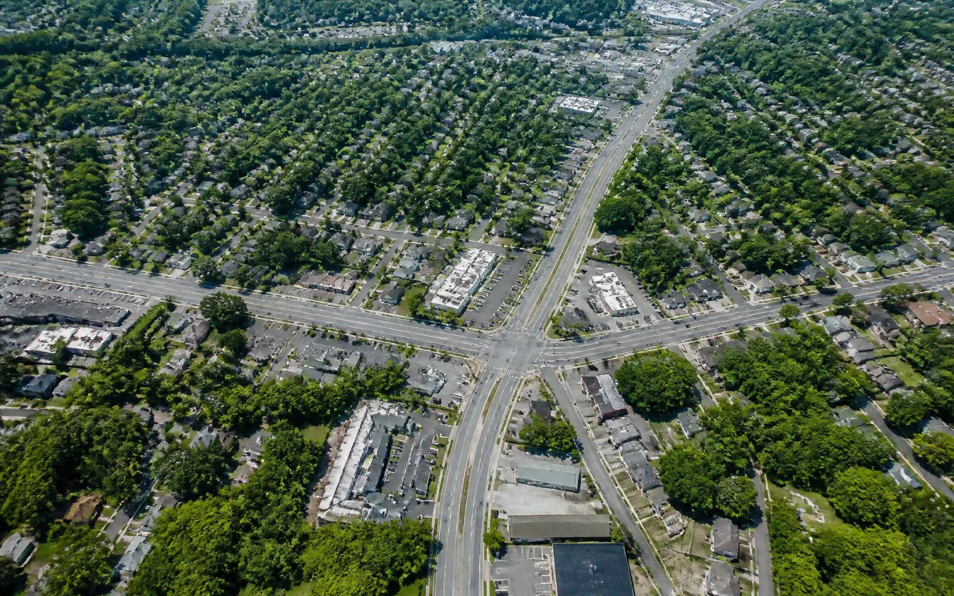
Cotswold is defined less by a plat line than by a set of roads. Randolph Road runs along the northwest, Wendover Road cuts across the north, Sharon Amity Road bisects the middle, and Monroe Road forms the southern commercial spine. Almost every question about the area — walk time, school assignment, traffic, price — comes down to which of those roads you live nearest.
Use the filters to isolate one category at a time. Positions are approximate and drawn for legibility; for exact parcel lines, setbacks, or zoning, use the county parcel viewer listed in the sources below.
Interactive Map
Landmarks, shops, schools, and green space
Toggle a category to isolate it. Select any pin for a short note on what it is and why it matters locally.
Schematic — not to scale
Shopping
Cotswold Village Shops
The neighborhood's commercial heart at Randolph and Sharon Amity — grocery, big-box anchors, services, and a dozen restaurants.
The four edges
Randolph Road (northwest)
The historic approach from uptown, lined with mature hardwoods and the churches and medical campuses that predate most of the housing stock. Streets off Randolph tend to carry the highest prices in the area.
Wendover Road (north)
The connector toward Eastover and Providence Road. Crossing Wendover on foot takes patience at peak hours; note where the signalized crossings are before assuming a street is walkable to the Village.
Sharon Amity Road (center)
The neighborhood's own main street. It carries the Village shops, the grocery anchors, and most of the daily errands, which is why properties a block or two off it trade on convenience rather than quiet.
Monroe Road (south)
The commercial and industrial edge, and the corridor seeing the most redevelopment pressure. It is also where the greenway network is easiest to reach.
Sources & Verification
How this page was researched
Map geometry is schematic. Parcel boundaries, zoning, greenway alignments, and transit routes should be confirmed with the primary sources below.
- Mecklenburg County POLARIS 3G parcel viewer
- City of Charlotte
- Mecklenburg County Greenways
- Charlotte Area Transit System (CATS)
Last editorial review:
Cotswold Neighborhoods & Streets
Sherwood Forest to Sardis Woods — the enclaves inside the Cotswold area, compared.
Continue →Cotswold Village Shops & the Randolph Road Hub
The shopping district that gives the neighborhood its name and its convenience.
Continue →Cotswold Parks & Greenways
Briar Creek Greenway, Evergreen Nature Preserve, and neighborhood recreation.
Continue →Getting Around from Cotswold
Drive times to Uptown, SouthPark, the airport, and the roads that matter.
Continue →