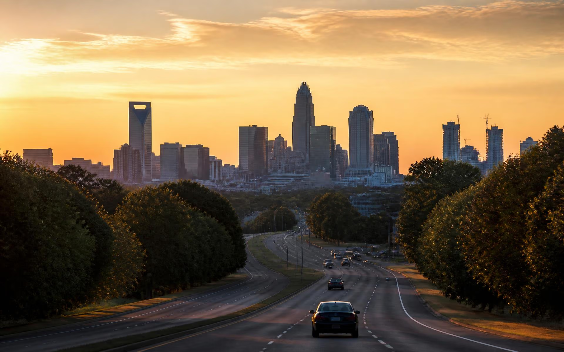
If you reduce Cotswold to one argument, it is this one. The neighborhood sits at a point on Charlotte's map where Uptown, SouthPark, the airport, the hospitals, and the interstates are all short, predictable drives. Few in-town neighborhoods hold all five at once, and none of the ones that do are cheaper.
The core drive times
Off-peak, from a typical Cotswold address: Uptown in roughly fifteen minutes, SouthPark in about ten, Charlotte Douglas International Airport in around twenty, and the Medical District along Randolph in under ten. Peak-hour trips run longer — plan on a meaningful margin between roughly 7:30 and 9:00 in the morning and 4:30 to 6:30 in the evening.
Your four routes out
- Randolph Road. The classic Uptown run, past the medical cluster and through Elizabeth. Scenic, signal-heavy, reliable.
- Sharon Amity Road. The north–south spine. South toward SouthPark and Providence, north toward Monroe Road and Central Avenue.
- Wendover Road. The efficient southwest connector toward SouthPark and Park Road.
- Monroe Road / Independence. The fastest option in light traffic and the worst in heavy traffic. Independence congestion is the single biggest variable in a Cotswold commute.
Interstates
I-277 rings Uptown, I-77 runs north–south, I-85 runs northeast–southwest, and I-485 loops the county. From Cotswold, all four are reachable in ten to twenty minutes depending on direction and time of day. NCDOT publishes current construction and travel information, which is worth checking during major corridor projects.
Transit
CATS operates bus service along the arterials near Cotswold, including Randolph and Monroe Road corridors. There is no light rail station in or immediately adjacent to the neighborhood; the LYNX Blue Line runs well to the west through South End and Uptown. If rail access is a hard requirement, that is a genuine argument for a different neighborhood — see Cotswold vs. the alternatives. Service patterns are revised periodically, so confirm current routes with CATS.
Walking and cycling
Walking is pleasant in the interior and practical near the Village, subject to the sidewalk gaps described on living in Cotswold. Cycling is best on the greenway and interior streets; the arterials carry speed and volume that most riders will want to avoid.